
Real Estate Media
The Power of Drone Photography in Real Estate: Why Every Listing Needs Aerial Views
Drone photography is no longer a luxury — it's become the standard buyers expect. Learn why aerial views matter for faster sales and how professional drone media sets your listings apart.
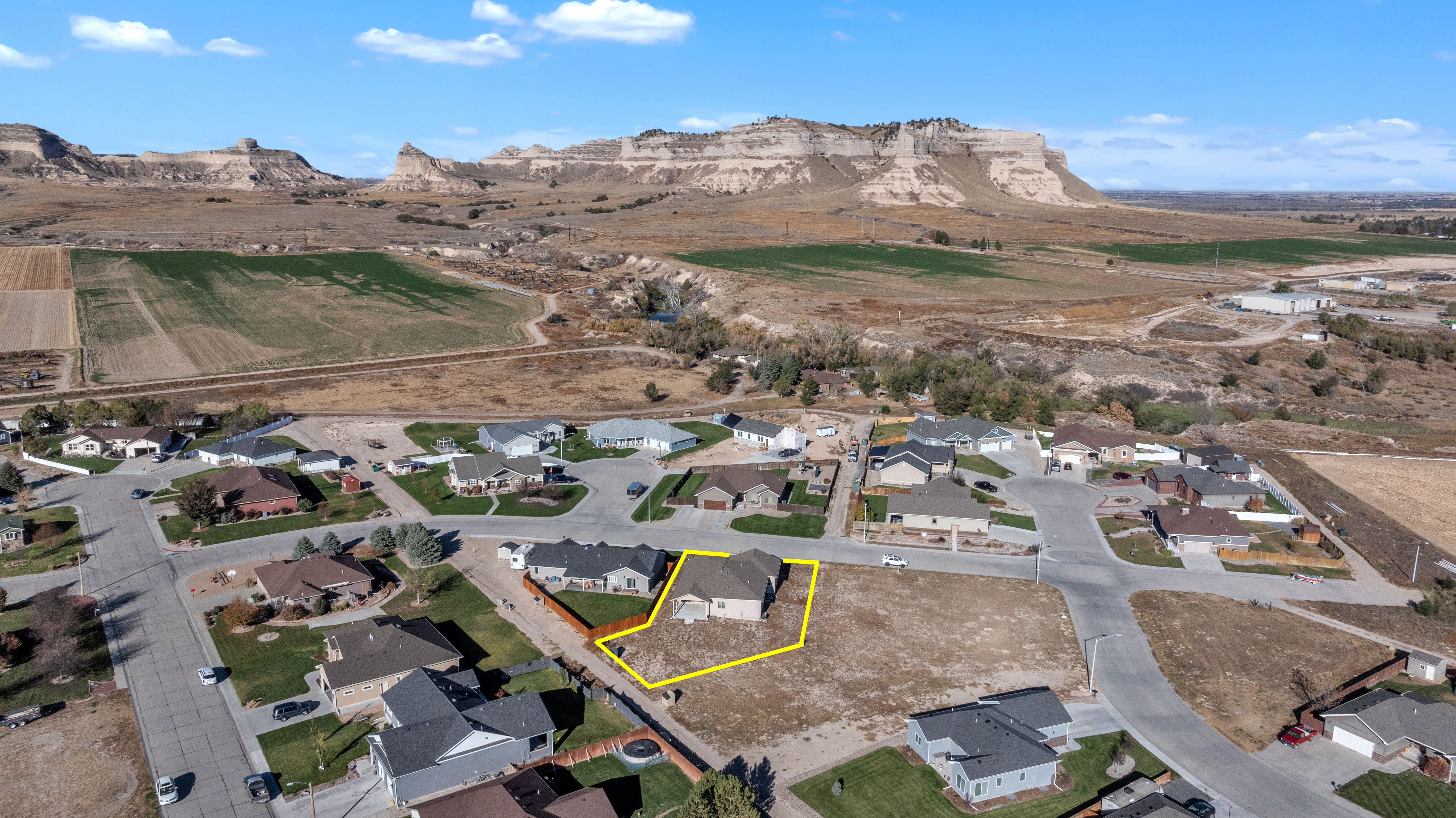
Why Drone Photography is Changing Real Estate
Buyers today make split-second decisions about homes — often before they even step foot on the property. They're scrolling through listings on their phones, swiping through photos, and forming first impressions in seconds. In that critical window, a compelling aerial view can be the difference between a click and a pass.
Drone photography has become one of the most effective tools agents have for capturing buyer attention. It's not just a nice-to-have anymore. It's what buyers have come to expect, especially in the markets where property context matters — a home nestled on a large acreage, situated in a growing subdivision, or positioned on a premium lot.
The Buyer Psychology Behind Aerial Views
When buyers see a home from the sky, they understand something immediately that ground-level photos can't convey: scale and context. An aerial shot shows the property boundaries, the lot size, the relationship to neighboring homes, and the surrounding landscape. A home that looks average from the street might reveal itself as a hidden gem when framed from above — surrounded by mature trees, positioned on a hilltop, or offering expansive views of the surrounding area.
This psychological shift is powerful. Buyers aren't just evaluating the house; they're evaluating the lifestyle the property offers. They're asking questions that only a drone photo can answer: Is the lot really as large as advertised? What's the relationship between the house and the land? Is there privacy, or are neighbors right on top of the property? Does the home have street appeal from a distance?
Professional drone imagery answers these questions visually, building confidence in buyers before they ever schedule a showing. And confidence leads to faster offers.
Real Estate Markets Where Drone Photos Matter Most
Not every property needs drone photography equally. But in certain market conditions and property types, aerial views are worth their weight in gold:
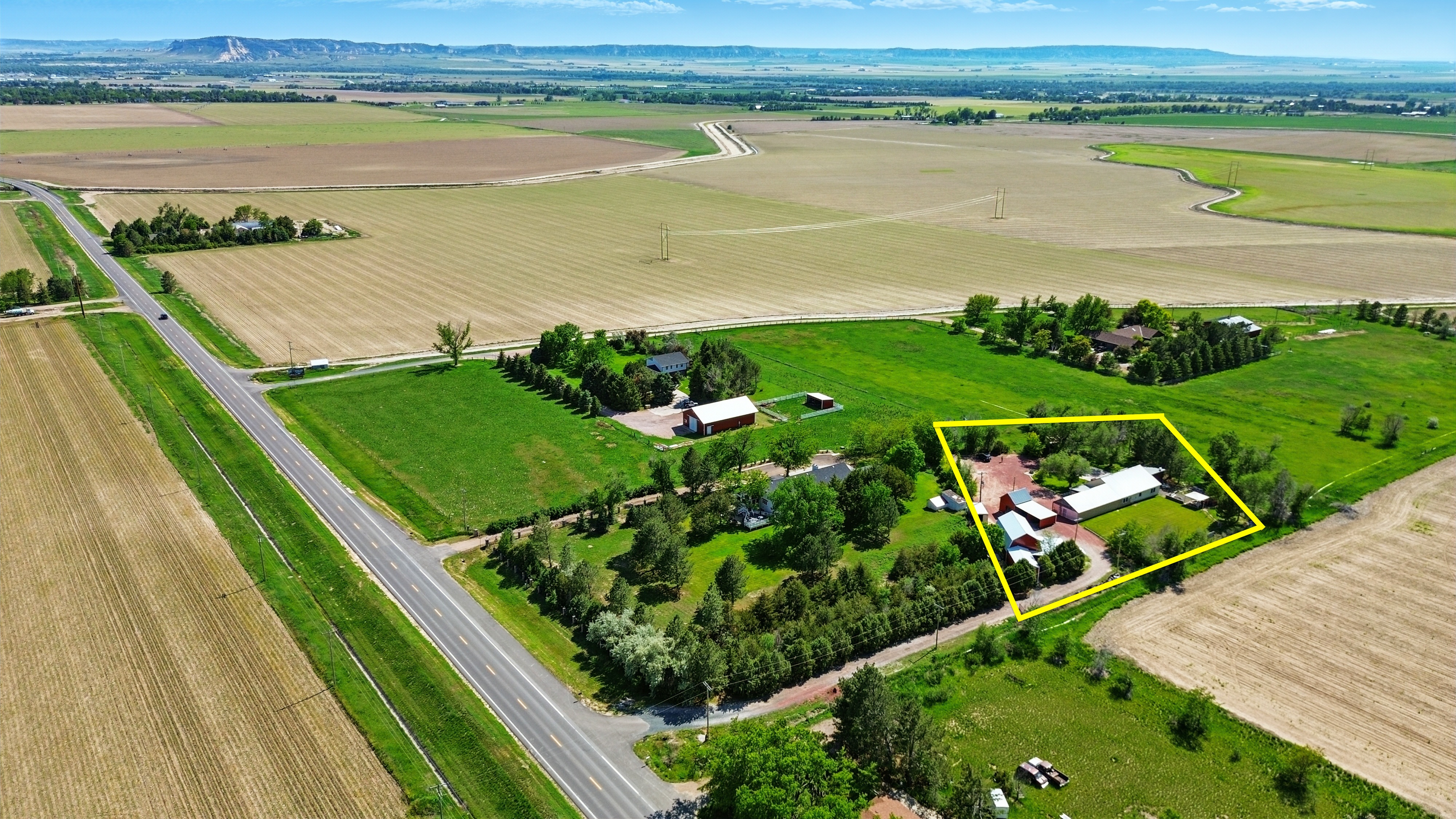
Acreage and Rural Properties: If your listing has land beyond what a standard lens can capture, drone photos are essential. Buyers buying acreage want to see what they're actually getting — the full scope of the property, the terrain, the trees, the access points.
Subdivision Positioning: New developments and established subdivisions benefit enormously from context shots. Buyers want to see where the home sits within the community, what amenities surround it, and how it compares to nearby lots.
Waterfront and View Properties: Lakes, ponds, rivers, and mountain or city views are the selling points. Drone photography showcases these naturally — it's often the most authentic way to represent the property's premium features.
Urban and High-Density Areas: Even in city markets, an aerial view shows parking options, street appeal, proximity to parks or commercial districts, and the density of the neighborhood in a way ground-level photos simply can't.
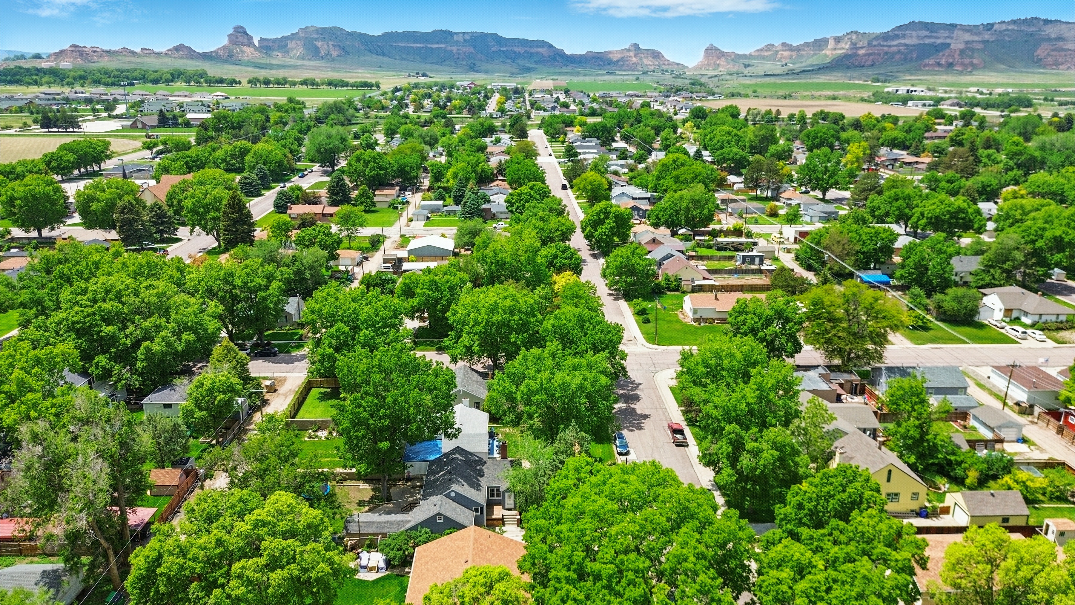
What Buyers Actually See in Drone Photos
When professional drone photography is done well, it tells a complete story. Here's what stands out:
Property Boundaries: The viewer immediately understands the lot size and shape without needing to squint at legal documents.
Landscaping and Grounds: Gardens, trees, outbuildings, pools, and other outdoor features become visual selling points rather than afterthoughts.
Neighborhood Context: Buyers see the character of the area, the density of development, and whether the property feels secluded or connected.
Road Access and Approach: The viewer gets a sense of the property's visibility from the main road and what the approach experience feels like.
Directional Orientation: Knowing where north is, which way the sun hits the property, and how morning and evening light behave — these matter more than agents sometimes realize, and drones show it naturally.
How Drone Photography Speeds Up Sales
The data is clear: listings with drone photography spend less time on the market. Here's why:
Faster Buyer Qualification: Aerial views help serious buyers self-select quickly. If the property matches their vision, they're more likely to schedule a showing. If it doesn't, they're not wasting anyone's time.
Increased Showings: Better photos mean more online engagement, which drives more showings. More showings mean more offer opportunities.
Better First Showings: When buyers arrive, they've already mentally bought into the property because they understand its context. First impressions tend to be more positive.
Premium Pricing Perception: High-quality aerial photography signals professionalism and care. Buyers associate better photos with a more valuable property — and agents with professional media support.
The Technical Edge: FAA-Certified Drone Operators
Not all drone footage is created equal. There's a significant difference between someone with a consumer drone and a trained, FAA-certified operator.
Professional drone pilots understand:
- Lighting and timing: Knowing when to shoot for the best light, shadows, and weather conditions
- Composition: Framing the property to highlight its best features, not its weaknesses
- Safety and compliance: Operating within FAA regulations and respecting property boundaries and privacy
- Post-production: Professional color grading, stabilization, and editing to create polished, MLS-ready imagery
- Video and stills: Capturing both still images and cinematic video clips that can be used across marketing channels
An amateur operator might get a drone in the air, but they're likely to miss the angles that matter, struggle with lighting challenges, and deliver footage that looks amateurish. In a competitive market, that shows.
When to Include Drone Photography in Your Listings
Include drone photography when:
- The property is on 1+ acre
- It's a waterfront or view property
- It's in a new development or premium subdivision
- The lot size or outdoor features are a major selling point
- You're targeting affluent buyers who expect professional media
Skip drone photography when:
- The property is in a dense urban area with poor sky access
- The lot is small and typical for the neighborhood (standard town home, small suburban lot)
- The property's main appeal is interior features, not outdoor space
- The budget is extremely tight and you're choosing between drone and professional interior photography
Interior quality always comes first. But drone photography is increasingly a table-stakes expectation.
The Investment Pays Off Quickly
Professional drone photography typically costs $150–$400 per shoot when bundled with other media services — a small percentage of the commission on most sales. But the ROI is significant: listings with drone imagery sell faster, often at higher prices, and generate more buyer inquiries per showing.
When you're competing in Western Nebraska, Indiana, Kentucky, or any market where property context is part of the story, drone photography isn't an add-on. It's the foundation of a complete media strategy.
Ready to Elevate Your Listings?
Big Sky Realty Media offers professional drone photography as part of every listing package, captured by FAA-certified operators who know how to make your properties shine. Our drone services are included in the Listing Plus and Triple-Play Premium packages, and can be added to any listing as a standalone service.
Whether your next listing is 2 acres in the Panhandle, a waterfront property near Louisville, or a premium lot in an Indianapolis development, professional aerial photography tells the complete story — and helps your listings sell faster.
Share this article